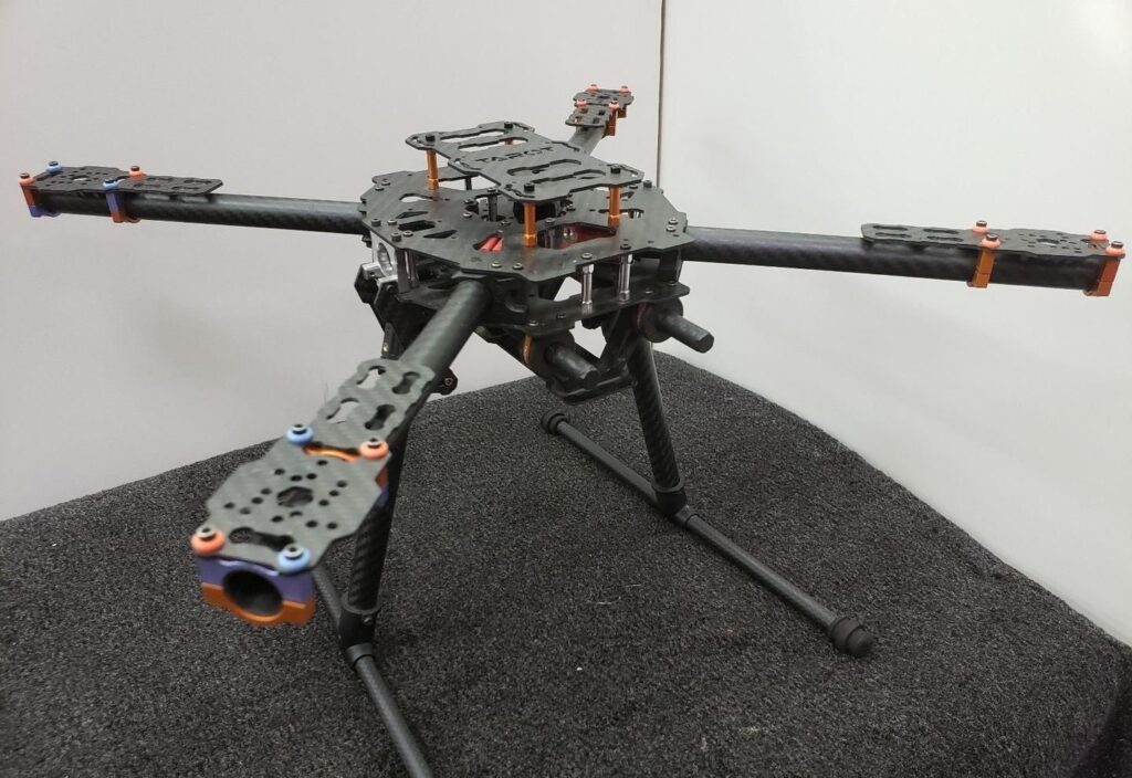
Services Time to Start drone survey Each client valuable ! We take care your suggestions. Survey Drone DevelopmentComing soon... Visual InspectionComing soon... Thickness MeasurementComing soon... 3D MappingComing soon... Why Survey Drone Drone surveys involve using unmanned aerial vehicles (UAVs) to carry out a survey.Simply reaching the location of a remote section of the structure is a dangerous, time-consuming, and expensive affair.Drone surveying can be 90% faster than manual surveying methods. It helps in creating highly accurate maps and survey points.Using drones for surveying offers the following advantages: Save time and money Provide high accuracy Automated survey Reduce operational Risks What You Get Lorem ipsum dolor sit amet, consectetur adipiscing elit. Ut elit tellus, luctus nec ullamcorper mattis, pulvinar dapibus leo. Private Hike: Locavit liberioris possedit Transportation: Diremit mundi mare undae Great Facilities: Spectent tonitrua mutastis